

UK snow and ice forecast
After weeks of persistent rain, cloud cover, and gloomy conditions, parts of the United Kingdom are set to experience a dramatic shift in the weather. Forecasters say wintry conditions—including snow and ice—are likely to affect several regions, bringing colder temperatures and potential travel disruption.
Meteorologists warn that the sudden change could catch many people off guard, particularly after a prolonged spell of mild but unsettled weather. With overnight frosts, icy roads, and snowfall possible, authorities are urging the public to stay informed and prepared.
This article explains where snow is expected, why the weather is changing, how long it may last, and what it means for travel and daily life across the UK.
Why the Weather Is Changing
Blocked Weather Pattern Shifts
The UK’s recent wet and gloomy spell has been caused by a blocked Atlantic weather pattern, keeping low-pressure systems locked over the country. Now, forecasters say colder air from the north and east is beginning to push southward.
As this colder air meets lingering moisture, conditions become ideal for snowfall and ice formation, particularly overnight and in higher areas.
Falling Temperatures
Daytime temperatures are expected to drop significantly, with night-time lows dipping close to or below freezing in many regions. This creates a high risk of:
-
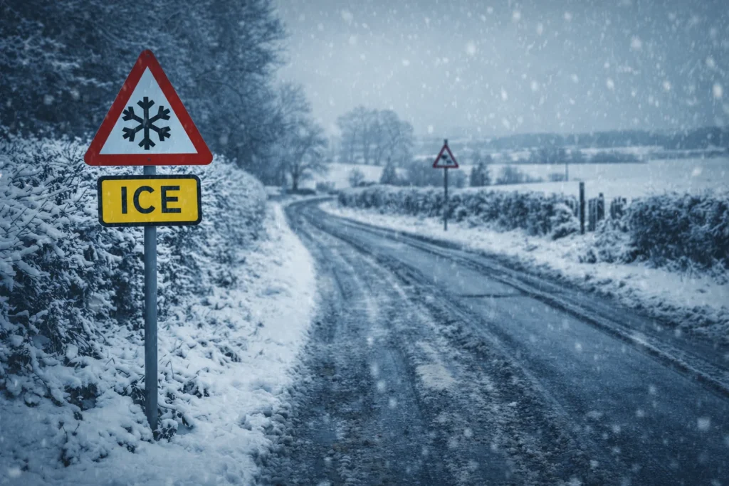
Ice on untreated roads
-
Frost on pavements
-
Snow showers, especially on hills
Which Parts of the UK Could See Snow and Ice?
Northern England
-
Pennines and surrounding areas
-
Higher elevations most at risk
-
Snow showers likely overnight
Scotland
-
Widespread wintry conditions expected
-
Snow and ice likely in both rural and urban areas
-
Strong winds may worsen conditions
Wales
-
Snow possible on higher ground
-
Icy roads and frost expected overnight
Midlands
-
Lower risk of heavy snow
-
Ice and sleet possible during colder periods
Southern England is expected to remain mostly rain-affected, though brief cold snaps and overnight frost cannot be ruled out.
Snow and Ice Warnings: What to Expect
Weather services may issue:
-
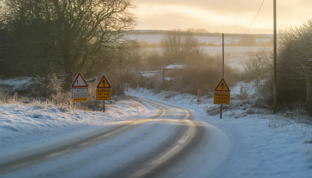
Yellow warnings for snow and ice
-
Travel advisories for early mornings
-
Localised school or service disruptions
Even light snowfall can cause problems when temperatures hover around freezing, particularly during rush hours.
Impact on Travel and Daily Life
🚗 Road Travel
-
Slippery surfaces on untreated roads
-
Increased accident risk during early hours
-
Rural routes most affected
🚆 Public Transport
-
Possible rail delays in snow-affected areas
-
Slower bus services on icy roads
🏫 Schools and Workplaces
-
Some schools may delay opening
-
Employers advised to allow flexible travel
How Long Will the Wintry Weather Last?
Current forecasts suggest the cold snap may be temporary, lasting several days before conditions become milder again. However, experts warn that short wintry spells can return quickly during late winter and early spring.
The exact duration will depend on:
-
Strength of cold air
-
Movement of Atlantic systems
-
Overnight temperature trends
How to Stay Safe During Snow and Ice
✔️ Practical Advice
-
Check daily weather updates
-
Avoid unnecessary early-morning travel
-
Wear footwear with good grip
-
Keep emergency supplies in vehicles
🧊 At Home
-
Protect outdoor pipes from freezing
-
Check on elderly or vulnerable neighbours
-
Use grit or salt on pathways
Climate Context: Why Weather Extremes Are Increasing
Meteorologists note that rapid weather swings—from wet and mild to cold and wintry—are becoming more common. Changing atmospheric patterns mean the UK can experience:
-
Prolonged rain followed by sudden cold
-
Increased frequency of extreme conditions
This makes short-term forecasting increasingly important for public safety.
What Forecasters Are Saying
Weather experts emphasize that while snowfall may not be widespread, even limited wintry weather can cause disruption.
The key risks include:
-
Overnight ice
-
Sudden temperature drops
-
Localised snow showers
Staying informed remains essential.
FAQs
❓ Will it snow everywhere in the UK?
No. Snow is most likely in northern and higher-elevation areas. Many regions will mainly see ice and frost.
❓ When is the worst time for icy conditions?
Early mornings and overnight periods pose the highest risk.
❓ Could travel be affected?
Yes. Even light snow and ice can lead to delays, especially on untreated roads.
❓ Could travel be affected?
Current forecasts suggest several days, but conditions may change quickly.
❓ How long will the cold weather last?
Staying informed and cautious is advised, but widespread severe disruption is not currently expected.
Conclusion
After weeks of relentless rain and grey skies, wintry weather is set to return to parts of the UK, bringing snow and ice to northern and higher regions. While the cold snap may be brief, it carries real risks for travel and daily routines.
With temperatures falling and conditions changing quickly, keeping up-to-date with forecasts and taking basic precautions will help minimise disruption and stay safe during the colder spell.